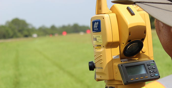
[title size=”2″]FDOT Conventional Surveying[/title]

[accordian]
[toggle title=”LPA Group”]
- Milling, Resurfacing & Sidewalk design of SR 95/US 29 in Escambia County. Full survey services performed. (2007)
- Holmes County Bridge Replacement, Corinth Road over Otter Creek & Bonifay Chipley Road over Unnamed Branch. Full survey services performed. Right-of-Way Map/Maintenance Maps were provided by HSA and were included on the Control Survey Maps. (2008)
[/toggle]
[accordian]
[toggle title=”Fisher & Arnold Inc.”]
- Milling & Resurfacing of SR10 (US 90A) from east of Perdido River Bridge to Pine Cone Dr. in Escambia County. Full survey services performed. (2008)
- Milling & Resurfacing of SR 75 (US 231) from Mill Road to north of Brock Road, Jackson County. Partial survey services performed. (2011)
- Milling & Resurfacing of SR 75 (US 231) from Mill Road to north of Brock Road, Jackson County. Partial survey services performed. (2011)
[/toggle]
[accordian]
[toggle title=”Metric Engineering “]Milling & Resurfacing of SR 20 (US 19/27) from west of SR 57 (US 19) to west of J.C. Lee Road in Jefferson County. Partial survey services performed (2010)
[/toggle]
[accordian]
[toggle title=”GPI Southeast Inc. “]Design Survey from SR 295/SR 727 to SR 289 (9th Ave.) in Escambia County. Full survey services performed. (2011)
[/toggle]
[accordian]
[toggle title=”David H. Melvin Inc. Consulting Engineers”]SR 22 from the Bay County Line to Wettappo Creek, Bay County. Partial survey services performed (2011)
[/toggle]
[accordian]
[toggle title=”BPA Engineers “]Milling & Resurfacing of SR 71 (Cecil Costins Blvd.) from the end of the concrete pavement to the Intercoastal Waterway Bridge in Gulf County. Partial survey services performed (2011)
[/toggle]
[accordian]
[toggle title=”England, Thims & Miller Inc.”]SR 10/US 90 From Summertime Drive to west of SR 4/SR 189 in Okaloosa County. Full survey services performed. (2011)
[/toggle]
[accordian]
[toggle title=”Inovia Consulting Group “]SR 10 (US 90) from Apex Dr. to east of CR 59 in Leon County. Partial survey services performed. (2011)
[/toggle]
[accordian]
[toggle title=”McNeil/Carroll Engineering Inc. “]SR 30 (US 98/Avenue E), Apalachicola, Franklin County. Full survey services performed (2012)
[/toggle]
[accordian]
[toggle title=”David H. Melvin, Inc. Consulting Engineers”]Milling & Resurfacing of SR 4 from CR 87A (Market Road) to the Okaloosa County Line, Santa Rosa County. Partial survey services performed (2012)
[/toggle]
[separator top=”40″]
[accordian]
[title size=”2″]District-Wide Miscellaneous Surveys[/title]
[accordian]
[toggle title=”I-10 staking, Escambia County”]Stake existing ROW and proposed ROW (2011)
[/toggle]
[accordian]
[toggle title=”Aenon Church Road, Leon County”]Stake existing and proposed ROW (2011)
[/toggle]
[accordian]
[toggle title=”I-10 Rest Areas, Jefferson County”]Full Topographic Surveys and Alignment for 2 Rest Areas (2011)
[/toggle]
[/accordian]
[title size=”2″]District 2[/title]
England, Thims & Miller Inc.
SR 6 Rail Trail, Hamilton County. Design survey for improvements to SR 25/SR 51/SR 6 from CR 6 to US 129 in Jasper. (2011)
[separator top=”40″]
[accordian]
[title size=”2″]Motor Carrier Compliance (District 3 & 5)[/title]
RS&H
Proposed Way in Motion Sites at the I-95 Virtual Bypass Stations, Flagler County; Wildwood Weigh Station, Marion County, Bunnell Weigh Station, Flagler County and US231 Southbound mainline pull off and Virtual Weigh Station (VWS) design, Jackson County. (2010-2012)
[separator top=”40″]
[title size=”3″]FDOT General Mapping[/title]
FDOT Central Surveying and Mapping Office
County General Highway Map Reformatting Project. HSA was awarded a two-year contract in 2004 to rectify the General Highway Maps for each of Florida’s 67 counties and modify the Roadway and PLSS (Public Land Survey System) layers to conform to Florida’s new CADD/GIS standards for published maps for the entire state of Florida. HSA completed 22 approved Highway maps using MicroStation-J, and then assisted the Department in migrating to MicroStation-V8 for the remainder of the contract. (2005)
