[title size=”2″]GPS Control for Airport Imagery[/title]
[accordian]
[toggle title=”Simwright, Inc. (for Flagler County Airport (XFL) Flagler County)”]HSA collected ground control survey data on airport property, created stereo pairs (R3D data) at a 3” resolution and 8cm horizontal, 12 cm vertical accuracy, and generated a block-adjusted aero-triangulation solution for use by the prime consultant in generating planimetrics for airport obstruction clearance analysis.
[toggle title=”Simwright, Inc. (for Flagler County Airport (XFL) Flagler County)”]HSA collected ground control survey data on airport property, created stereo pairs (R3D data) at a 3” resolution and 8cm horizontal, 12 cm vertical accuracy, and generated a block-adjusted aero-triangulation solution for use by the prime consultant in generating planimetrics for airport obstruction clearance analysis.
[/toggle]
[accordian]
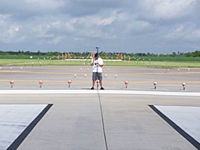
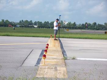
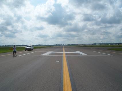
[toggle title=”Simwright, Inc. (for Tampa International Airport (TIA) Hillsborough County)”]Set aerial targets and collected high order GPS horizontal and vertical positions within a 6 mile by 8 mile grid for the acquisition and ortho-rectification of low level imagery. (2004)
[/toggle]
[accordian]
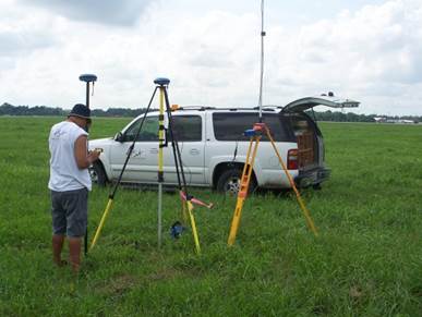
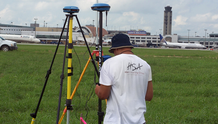
[toggle title=”SimWright Inc. (for Federal Aviation Administration) New Orleans International Airport (MSY)”]Obstruction Survey and Airport Airspace Analysis to support approach procedure development. Set ground targets and acquired GPS positions for aerial photography. (2010)
[/toggle]
[/accordian]