
[title size=”2″]LiDar Projects[/title]
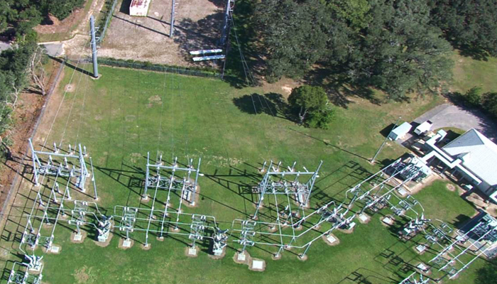
Aerial Cartographics of America – (for City of Tallahassee Utility Department) Leon Lidar Power Transmission Line Mapping Project in Leon, Gadsden and Wakulla Counties. HSA served as the Prime Consultant for this 175 mile Power Transmission line project. Work included setting targets on ground for horizontal and vertical control, the extraction of planimetric data from aerial photography and the ground check QA/QC of extracted data for accuracy and thoroughness. HSA also coordinated the staged final delivery of all sub consultant products to the City of Tallahassee Utility Department. (2012)
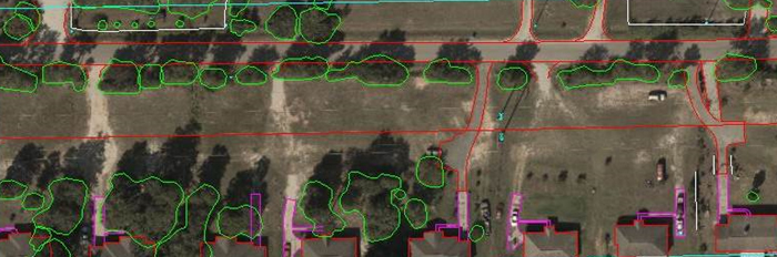
Planametric Extraction taken from the aerial photography along the Power Line Corridor
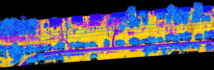
Point Cloud Data taken from the helicopter along the Power Line Corridor