[title size=”2″]Photogrammetry Projects[/title]
[toggle title=”FDOT District 3 District-Wide Miscellaneous Roadway Digital Mapping”]HSA provided photogrammetric and transportation statistics services on approximately 2400 miles of On-System Roadways, including ground control, aero-triangulation, ortho-mosaics and extraction of Roadway Characteristics Inventory (RCI) data. (1999 – 2006)
[/toggle]
[accordian]
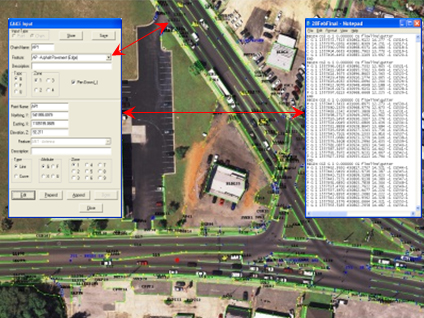
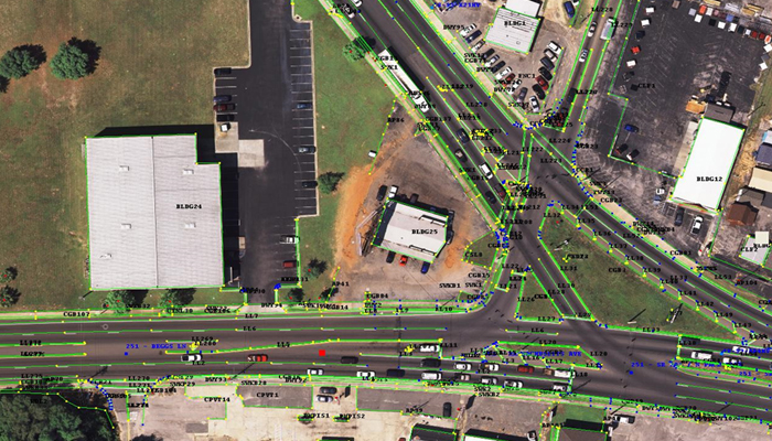
[toggle title=”FDOT District 3 Photogrammetric Extraction Pilot Projects”]HSA worked with two different engineering firms to complete the district’s photogrammetry pilot projects. For these projects, the survey data was extracted using digital softcopy technology including development of digital terrain models for portions of the project area for using 1200’ AGL flights imagery, scanned at 14 microns. HSA developed a customized desktop software application, SurveyCreator, to extract topographic survey data using Electronic Field Book (EFB) naming conventions and file output formats. Accuracies of 1/10 of one foot were independently verified. (2003)
- Hatch Mott MacDonald (formerly Carlan Killam Consulting Group, Inc) (for FDOT District 3) Milling, Resurfacing & Minor Design of SR 85 from SR 123 to North of Brock Avenue, totaling 14 miles in length in Okaloosa County. (2003)
- Baskerville-Donovan, Inc. – (for FDOT District 3) Milling, Resurfacing & Minor Design of SR 393 from US 98 (SR 30) to Beal Parkway in Okaloosa County – Urban Section approximately 2 miles in length. (2003)
[/toggle]
[accordian]
[toggle title=”HDR (for City of Panama City Beach)”]Photogrammetric Project in Bay County. This project was flown at 2500’ AGL, and scanned at 14 microns. It generated over 400 stereo models at 3.4” resolution. HSA provided the ground control, targeting and GPS survey control to support an 8 cm horizontal RMSE accuracy. 1’ contours were developed for Stormwater Master Plan Development. The rectified imagery was used as a baseline geo-spatial layer for development of a “Virtual City Hall” web-based IT. A seamless color ortho-mosaic was also generated for use in the City’s web-based application. (2007)
[/toggle]
[accordian]
[toggle title=”Wilbur Smith & Assoc. – (for FAMU, Leon County)”]Campus-Wide Electrical Upgrades/Technology Infrastructure-PHASE 3. Pairs of GPS control points were established as primary control with the horizontal datum tied to Florida State Plane North, NAD 83 (99) and the vertical datum tied to NAVD 88. Existing topography and planimetric features were located in 3D and provided to the Design Engineer. HSA also provided 1’ contour maps and seamless color ortho-mosaic. (2009)
[/toggle]
[/accordian]